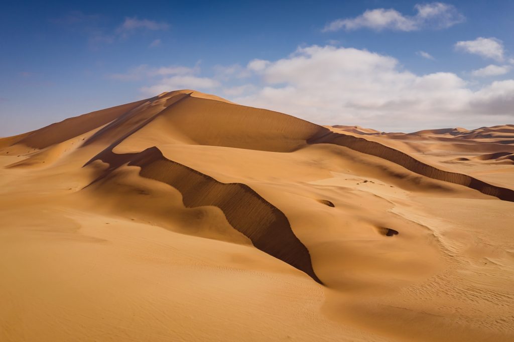

A new study from Monash University has delivered the most complete and accurate digital map of Earth’s wind-blown sand dunes to date.
The research, published in Nature Communications, solves long-standing questions about why dunes form where they do, unlocking key insights into climate conditions on Earth and other planets.
The shapes and patterns of sand dunes reflect local weather and geology, which is why scientists frequently study them to reconstruct ancient climates or infer surface conditions on distant worlds where direct climate monitoring is impossible.
However, the lack of a unified, highly detailed global dataset of dune presence has long limited these efforts.
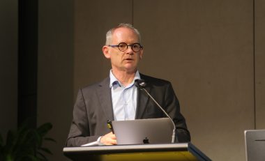
Author of the paper, Dr Andrew Gunn from Monash University’s School of Earth, Atmosphere and Environment, analysed global satellite imagery and high-resolution topographic data, to create a comprehensive digital atlas categorising dune systems worldwide.
Integrating that map with detailed analyses of climate and geology uncovered a number of fundamental environmental rules that dictate the presence of sand dunes.
In dry regions, dune formation is primarily driven by how winds converge to trap sand, and how close the region is to a sediment source. Whereas in areas with more rain and vegetation, sediment availability alone is not enough. Stronger wind conditions are required to overcome environmental resistance and form active dunes.
The study demonstrates how specific crescent-shaped dunes (barchans) can be used to infer wind direction and sediment properties, while highlighting a delicate balance scientists must navigate when interpreting historical climate data from dune patterns. These results are directly applicable to Mars, where dunes are often the only measurable surface feature that can be used to infer surface winds and mineralogy.
“Sand dunes can serve as natural archives of climate and geological history. Having a consistent, worldwide map allows us to better understand how wind-shaped landscapes evolve across our planet today, offering a clearer benchmark when analyzing similar features in the rock record or on planets like Mars,” Dr Gunn said.
The newly released dataset provides a standardised resource for geologists, climate modelers, and planetary scientists seeking to decode environmental shifts across Earth's history and across the solar system.
“As global climate patterns shift, this map gives us a baseline to track how wind systems and drylands are changing in real time. Beyond looking backward at Earth's history, it gives climate modelers a crucial tool to predict how desertification and wind-driven erosion might reshape communities in the decades ahead,” Dr Gunn said.
Read the research paper here: https://10.1038/s41467-026-75466-y
ASSETS AVAILABLE
Images are available here
MEDIA ENQUIRIES
Hande Cater
Media and Communications Manager
P: +61 456 428 906
GENERAL MEDIA ENQUIRIES
Monash Media
P: +61 3 9903 4840
For more experts, news, opinion and analysis, visit Monash News.